Europeans arrived in the waters off California in 1542. Then they sailed through the Golden Gate and discovered one of the world’s great natural harbors: San Francisco Bay.
Oh, did I mention the 233 years between those two events?
Why did it take more than two centuries to make this important discovery? This is a story of fog…but maybe not the fog you were expecting.
The Europeans are coming!
Once upon a time, Europeans found their way to the west coast of North America. By then, the Ohlone and Miwok nations had been living, fishing, and farming around this bay for over 10,000 years.
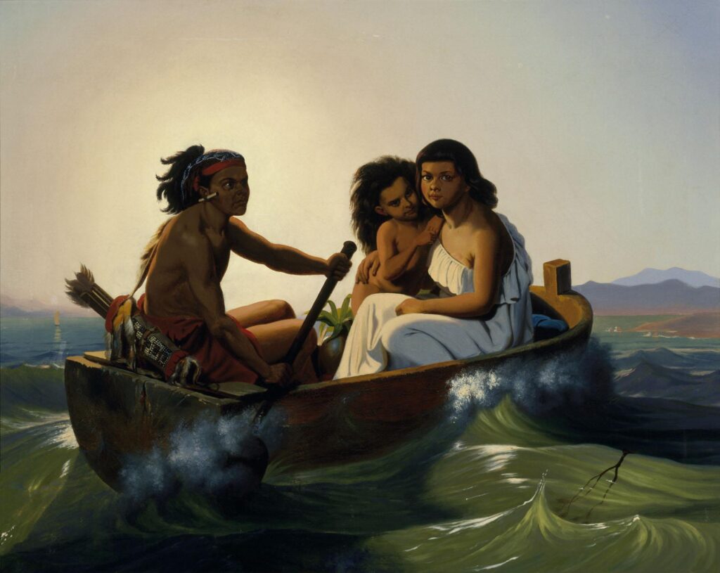

Christian Nahl, 1860
Via Wikimedia
Unlike the Native Americans, Europeans traveled mostly by sailing ship, and finding bays was a big, big deal. Sailing by wind is a dangerous business especially along the so-called Pacific coast with its strong winds and rocky shorelines. Plenty of ships ran aground and sank during those years.
A bay meant someplace to get out of the weather. Away from the waves. It meant finding food and fresh water and doing repairs.
The first vessel to cross through the Golden Gate arrived 251 years ago. That means it took just about the same amount of time to find this bay as everything that has happened since.
So how did it happen that this bay…this huge, sheltered, calm bay…took 233 years to discover?
To put that in some perspective, the first vessel to cross through the Golden Gate arrived 251 years ago. That means it took just about the same amount of time to find this bay as everything that has happened since.
Fog? Sure…but.
The conventional explanation is that our bay is foggy and sailors simply missed the bay’s narrow entrance in the mists.
And…sure. There’s undoubtedly some truth to this. San Francisco is foggy. And this does limit visibility. But leaving it there fails to capture the real story. It’s not always foggy.
Understand that hundreds of voyages passed within sight of the Golden Gate during those years and it beggars belief to think that every last one of these happened on a foggy day.
1542: Cabrillo surveys California
To understand the true story, we need to look at California’s geography and also at what was motivating the voyages at that time.
What we now call the Golden Gate Strait is just a one-mile stretch along a coastline of over 800 miles. To the north is Point Reyes. Thirty miles to the west are the treacherous Farallon Islands. The coast then veers towards the south and east.
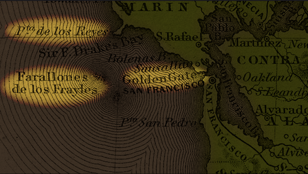
The first European exploration of the Californian coastline came in 1542, during the great age of discovery. Columbus had made his voyages just a few decades before and Europeans were now drawn by the promise of unexplored land and frankly fanciful legends of cities overflowing with gold.
Juan Rodríguez Cabrillo sailed north from Acapulco, stopping in places like San Diego, the Channel Islands, and Santa Monica. His expedition likely got as far as Southern Oregon.
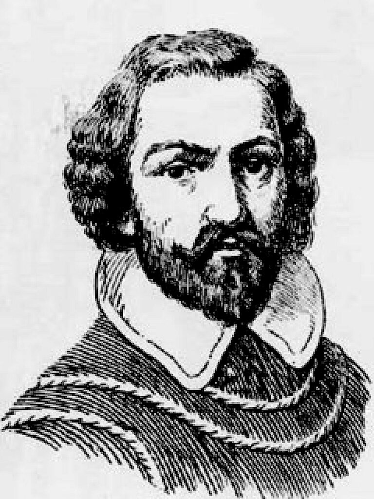

Creator, date unknown
Via Wikimedia
But Cabrillo died on the voyage. His pilot, Bartolomé Ferrer, assumed command, ultimately reporting he’d found little for the Spanish Empire to exploit…certainly nothing worth the long and dangerous journey.
But in 1565, the Spanish government did discover a way to exploit this coastline…though it had little to do with California itself. Mexican silver could be sold in Asia for an extreme profit and Asian luxuries like silk, porcelain, ivory, and spices could be sold back to Europe. This established the Manila Galleon, a regular trade route between Acapulco and Manila that persisted well into the 19th century.
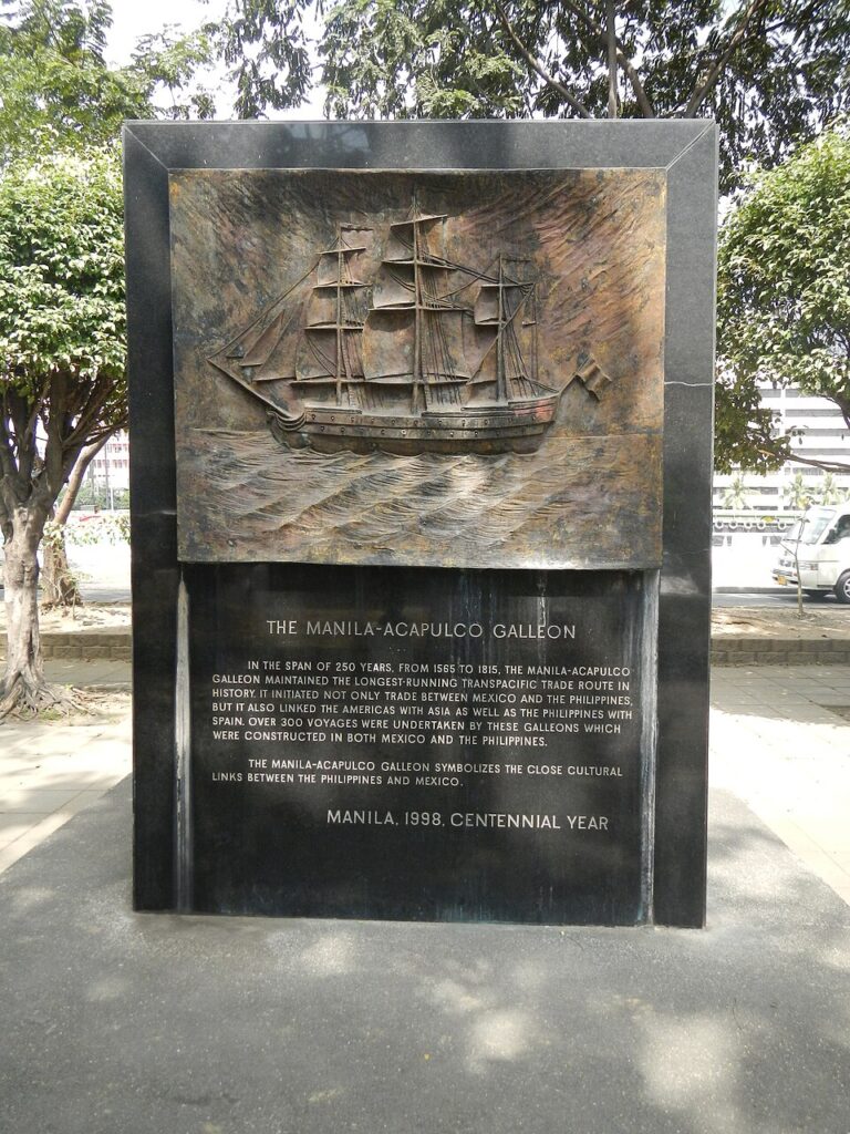

2014, Ramon FVelasquez
Via Wikimedia
So from 1565 on, in addition to journeys of discovery, at least one ship each year passed somewhere in the vicinity of the Golden Gate.
So was the bay just so foggy that none of these ships spotted what was right in front of them? Hardly.
Precious cargo, precious captains
These galleons were laden with precious cargo and worth literally millions of Spanish reals. With that kind of money on the line, no captain wanted to risk running aground. Early in the trade, galleons sailing east from Manila would sight land, usually around Cape Mendocino and then sail south along the coast. But on reaching Point Reyes, they would turn southwest to avoid the Farallon Islands and any possible reefs or shallow water.
Remember at this time, the coast wasn’t that well mapped, and one never knew what dangers might lurk just out of sight.
The Farallon Islands are thirty miles west of San Francisco. If you’re that far out, even on a crystal clear day, even if you’re looking straight at that mile-wide opening of the Golden Gate, you could be forgiven for seeing the Oakland/Berkeley hills behind and assuming it was all one continuous stretch of coast.
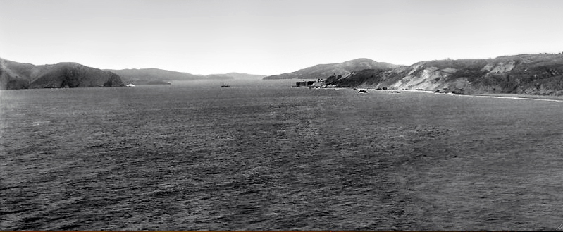

Frank R. Tindell, circa 1895
Via Wikimedia
In later years, galleon captains began to identify signs of land even before someone shouted “land ho!” — or whatever the Spanish equivalent would be — seaweed, sea lions, and sea otters were all telltale signs that the California coast was near.
At this point, ships would turn Southeast even before sighting land, likely bypassing the elusive Golden Gate altogether.
If not by sea…
So the bay wasn’t spotted by sea, why not by land?
The Spanish expansion by land into California was slow. There were probably a few reasons for this. Some of it was political: European wars distracted the Spanish government. Additionally, Ferrer’s original report that there was little worth exploiting may have played a part.
Finally, there was the Colorado desert. Hot and unforgiving, water supply was uncertain. This made land expeditions treacherous.
Only as the Spanish government felt its control in the New World slipping did it begin to take the California coast seriously. In 1697, in an effort to secure their claim in the area, Spanish missionaries began exploring north of Baja California into what was then known as Alta California.
In 1769, they began to establish a series of missions, beginning with Mission San Diego.
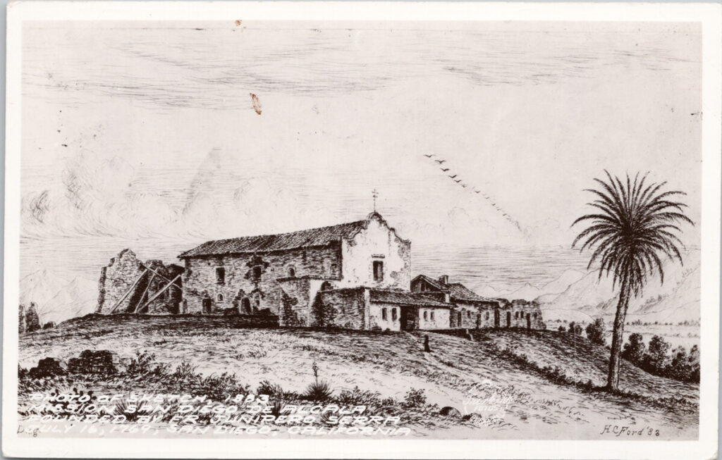
Henry Chapman Ford, 1883
Via USC Digital Library
The Portola Expeditions
In that same year, Gaspar de Portola led a pair of expeditions deep into California. On the first of these he was looking for Monterey Bay, which had been identified as far back as 1602 as a potential port.
Monterey Bay is too open and exposed to Pacific storms to be ideal, but at the time it was the most promising location known.
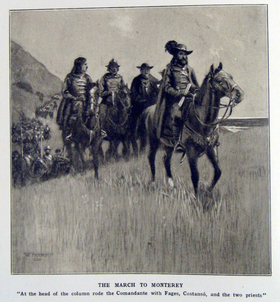
William Francis, 1909
Via The March of Portola and the Log of the San Carlos by E. J. Molera
Portola’s expedition accidentally bypassed Monterey. Unknowingly, they wandered onto the San Francisco peninsula.
There, a local tribe of Ohlone pointed them to the top of Sweeney Ridge, from which José Francis Ortega became the first European to glimpse the enormous San Francisco Bay.
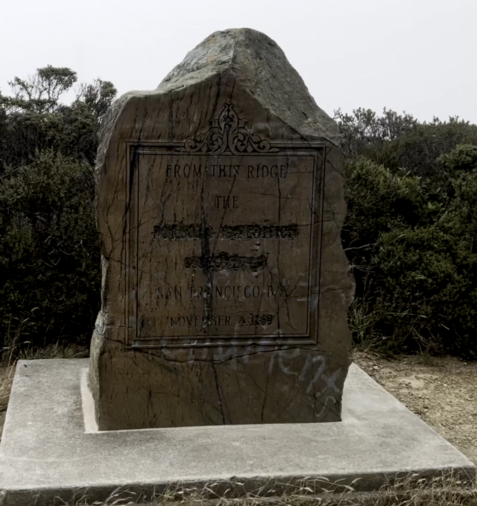
Even then, the importance of what they had discovered seemed to have been lost on Portola’s men. They were disappointed, realizing only that they had missed Monterey. They even misidentified the body of water, assuming it to be what is now called Drake’s Bay, which had been named Bahia de San Francisco by Sebastián Rodríguez Cermeño in 1594.
The only person on the expedition who seemed to grasp the enormity of the discovery was the Franciscan missionary, Friar Juan Crespi. He recorded the bay as:
“a very large and fine harbor, such that not only all the navy of our Most Catholic Majesty but those of all Europe could take shelter in it.”
1775: 233 years later
In 1775, a ship was at last dispatched to explore the newfound San Francisco Bay. On August 5 of that year, Juan de Ayala sailed his ship, the San Carlos, through the Golden Gate.
![Photograph of a drawing by Walter Francis depicting the ship San Carlos entering the bay of San Francisco on August 5, 1775, [s.d.]. The ship was the first ship to enter the bay and is at the center of the picture, its sails catching the wind as it cuts through the rough water of the bay, which is marked by whitecaps. There is a flock of seagulls to the right of the ship, above where the anchor is hanging. There is a land mass jutting out into the water on the left side of the picture and more land in the background behind the ship. Photoprint reads: "Drawn for 'The Beginnings of San Francisco'".](https://fogandwhisky.com/wp-content/uploads/2026/07/31_San_Carlos_entering_the_bay_of_San_Francisco-1024x640.jpg)

William Francis, 1912
Via Wikimedia
Ayala mapped the bay and in 1776, the Spanish established both Mission San Francisco de Asis, now known as Mission Dolores, and the Presidio.
What the actual fog?
It’s easy to look back and wonder how centuries of explorers and missionaries and merchants missed something so large and so important.
But the many hazards and unknowns…the uncertainty of a new land…kept the bay hidden.
So it’s true. A type of fog did hide the Golden Gate…the fog of uncertainty in an age of discovery.
I write about things which interest me, including the city of San Francisco. Please consider commenting, sharing, and subscribing to my posts.
Leave a Reply